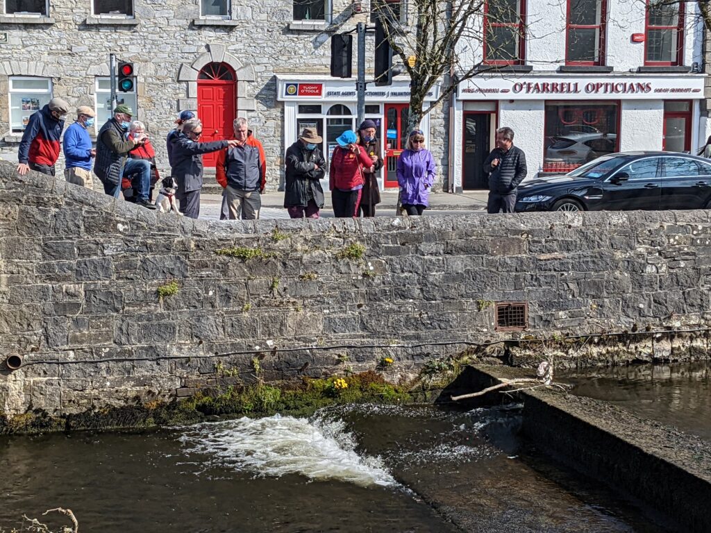
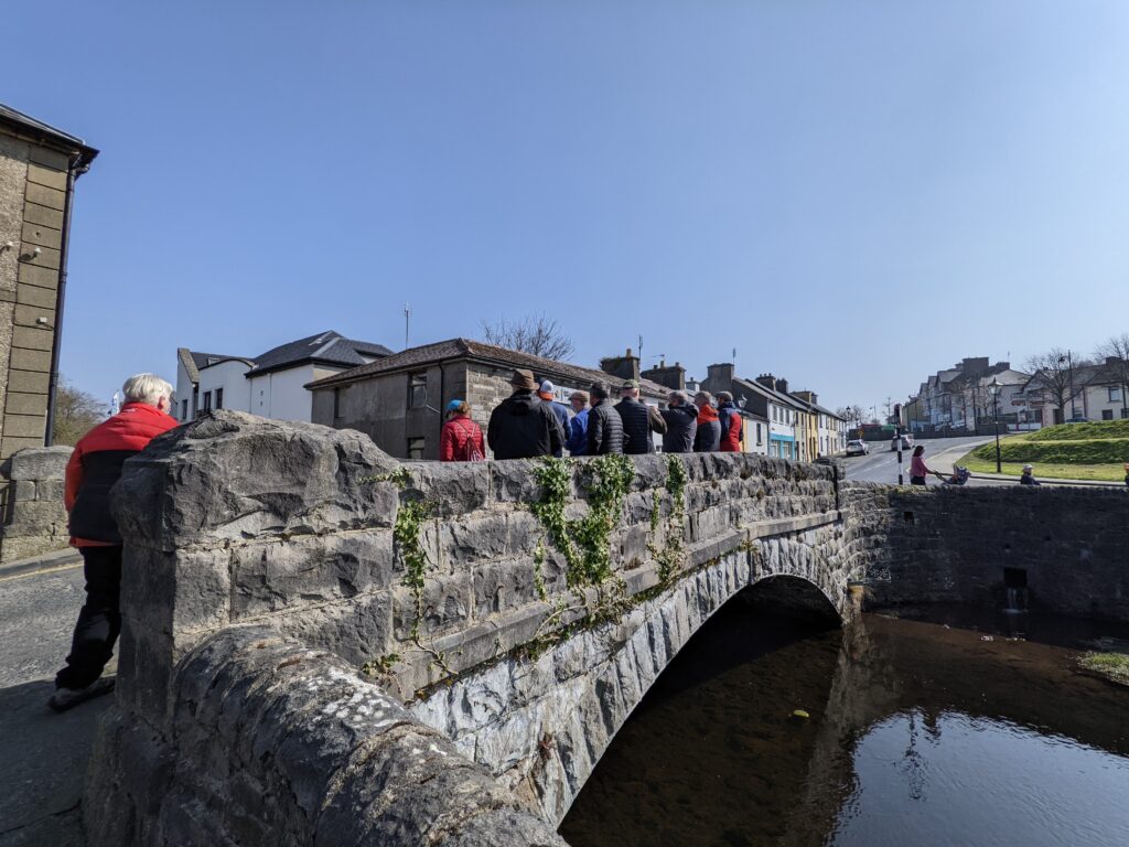
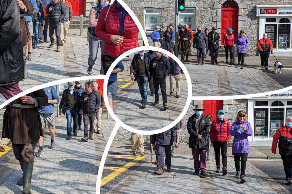
On Saturday 26 March we walked the Carrowbeg River in Westport town. Starting at the lower weir next to Hotel Westport we walked upstream along the river walk.
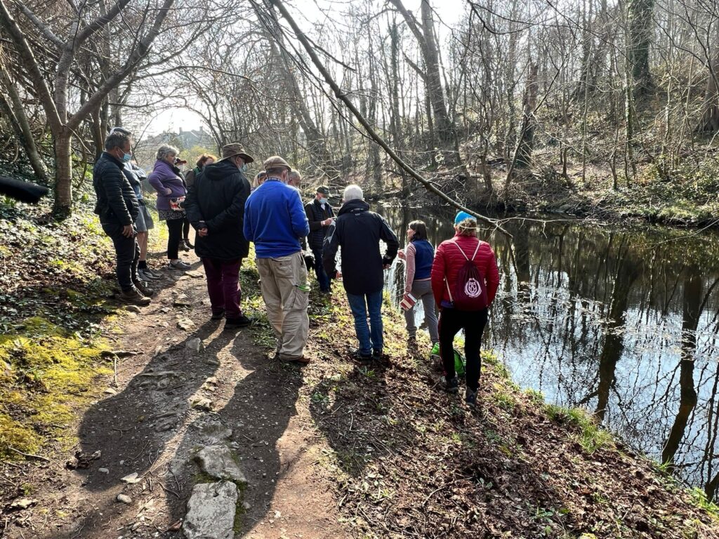
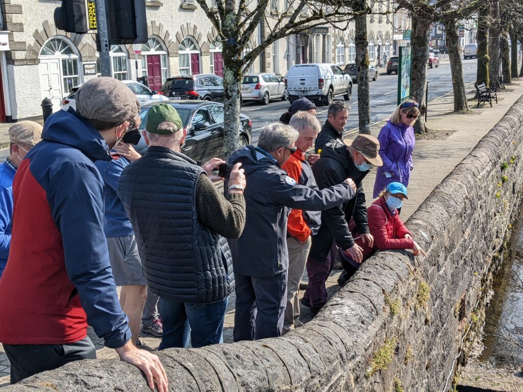
We examined the impact of the weirs on the Carrowbeg – they restrict the ability of fish such as salmon, sea trout and eels to move upstream from the sea. Removing or modifying weirs to allow passage of fish must be done carefully as water levels in each section of the river are all connected. We saw a grey wagtail at the downstream bridge – it is one of three dedicated river birds – along with dippers and kingfishers. Nice to see in the middle of an urban area.
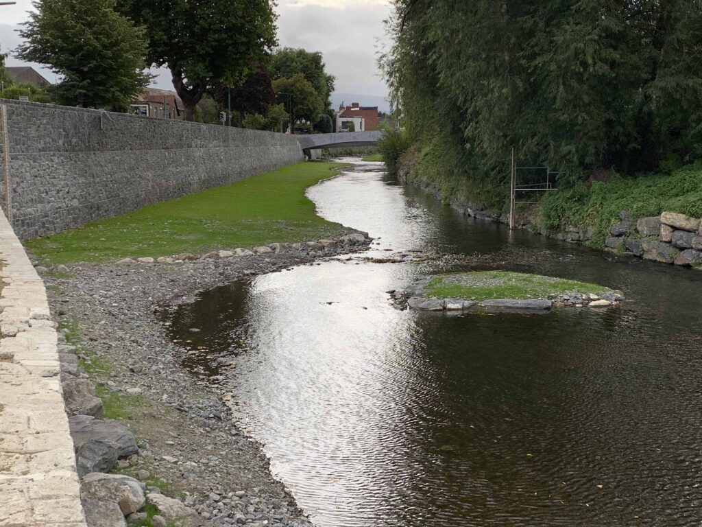
Ken described recent works on the River Dodder in Dublin as a potential model for improving fish passage and the river’s general ecological state. In the Dodder a central deeper meandering channel with cobble and boulder bars bordering this has been created. These lateral bars and islands will vegetate in time with plants such as canary reed grass. The deeper central ‘thalweg’ maintains a faster flow of water, reducing the amount of algae, encouraging sensitive insect species indicative of good ecological status. This deeper water stays much cooler than a shallow bank-to-bank river with the same amount of water flowing – especially in the warmer summer months – this is very important for cold-water fish such as trout and salmon.
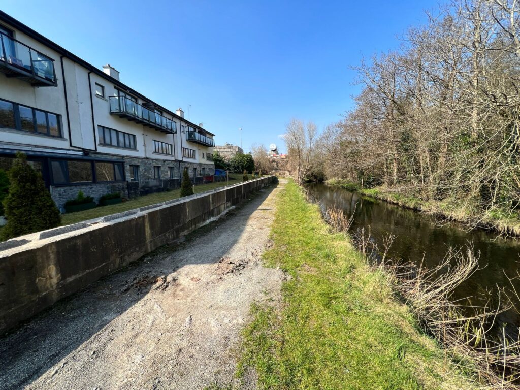
We moved up to the apartments near the Tesco store that had suffered from serious flooding. The basements are essentially below the normal river level and have filled with water. Residents have built a wall to protect the apartments and further works are under way to protect these poorly sited apartments. Similarly, flood protections have been added to the walls of the Mall. The large area of hard surfaces – roofs and car parks generate rapid runoff of water in heavy rain leading to high peak flows unless significant storage or ballast is used to store the water temporarily. Such rapid peaks add to the risk of serious flooding.
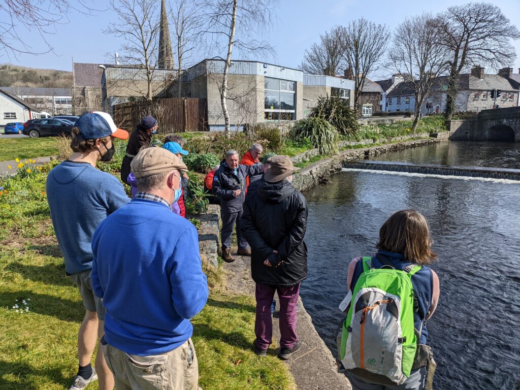
Solutions to the flooding may lie in the upper catchment of the Carrowbeg, back up to Knappabeg Lake. The concept of ‘flattening the curve” in order to reduce the number of people ending up in hospital during the pandemic is now well-known. In the context of river flooding, we must look at what we can do to “flatten the hydrological curve” in the catchment as a whole. Typically allowing controlled flooding from the upper sections of the river in order to slow the flow and reduce the height of the peak flood when it arrives at the built-up areas. Such natural water retention measures which are described very well in this webinar:
https://www.youtube.com/watch?v=H0HqcUa7byc
Obviously any land owners affected should be compensated for assisting with natural flood retention measures.

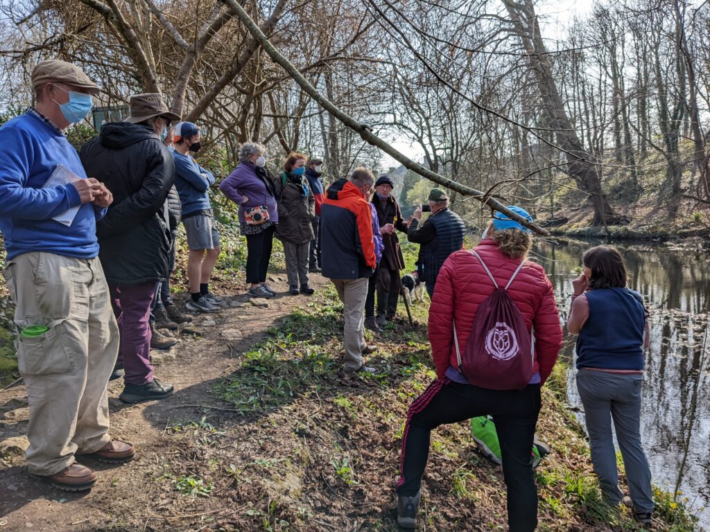
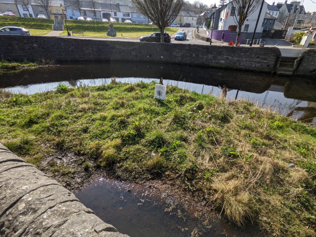
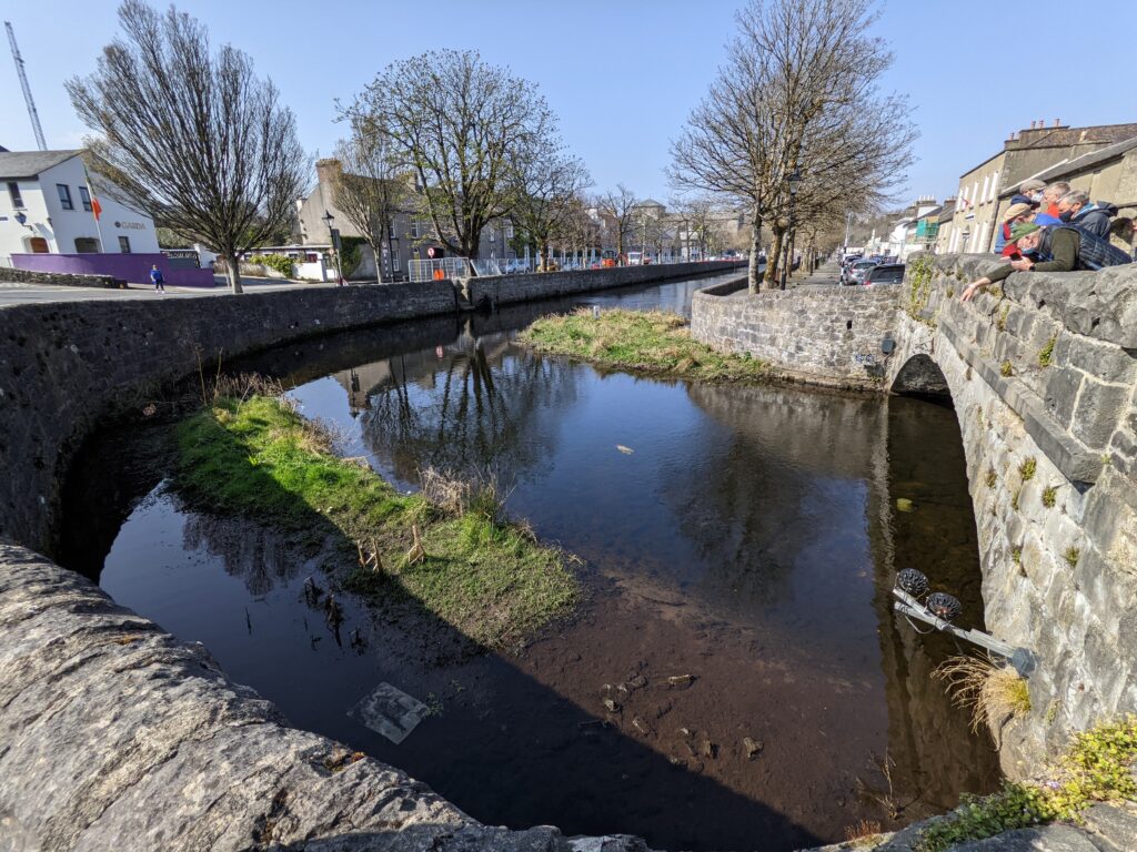
The controversial island and bar at the upper bridge are photographed above. These accumulated apparently following a flood event and are undergoing what is termed “ecological succession” – the vegetation will steadily develop over time, providing habitat for pollinators, damselflies and dragonflies plus grey wagtails and perhaps otters, among others. The view of the ecologists present was that they should not be removed but managed for wildlife.