In parallel with the Citizen Science Stream Index (CSSI) courses during the week of 4th April we were asked to visit three sites across County Mayo in order to provide advice and comment on proposed or potential projects.
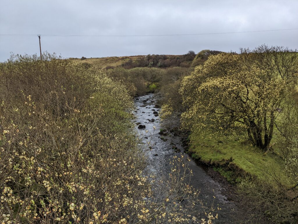
On Monday 4th April we visited the Carrowniskey River. A group of 12 farmers and landowners met us at the Bridge at Carrowniskey.
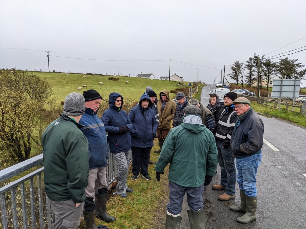
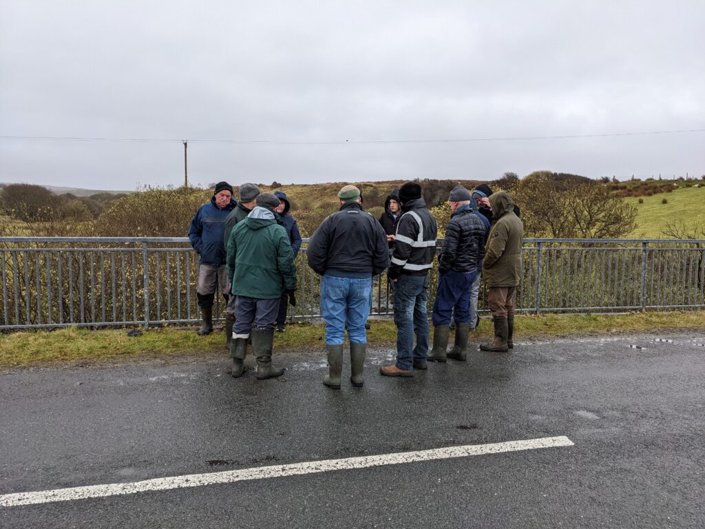
The main concern of the landowners was flooding of the lands adjacent to the river. Bank erosion was also seen as an issue. We discussed a number of possibilities and suggested a survey of the river to define the problem in some detail in order to produce a set of recommendations for improved flood control based on good data. A good survey report could then underpin submissions for funding for remedies to address the flooding problem.
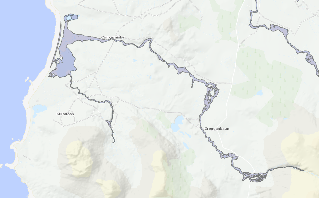
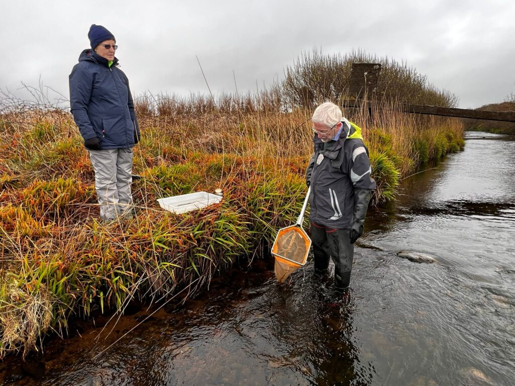
We plan to initiate such a survey in early May (Weekend of 7/8 May) as part of this Mayo Communities Caring for Water programme. This will be a citizen science training exercise to show river survey techniques and point to where relevant data are available – such as the flood map for the river and the flow gauge data at Cregganbaun shown below. Details later.
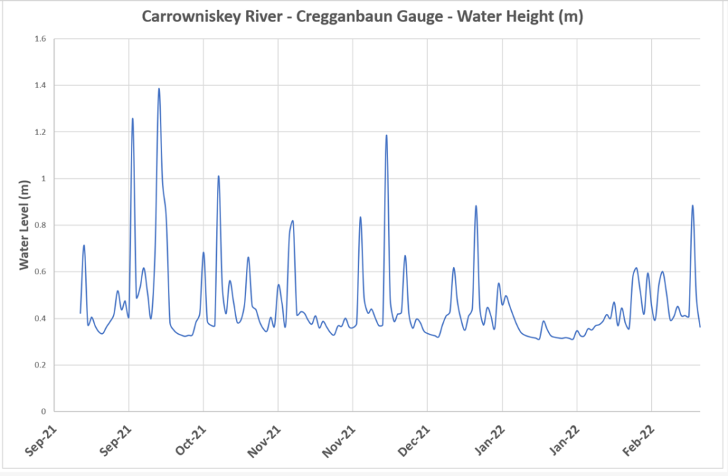
The peak of almost 1.4 m occurred on 7 October 2021. Did this coincide with flooding?
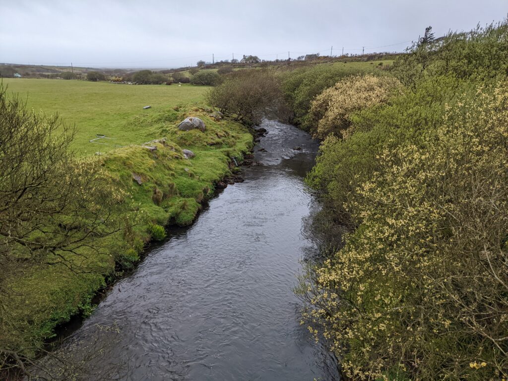
We also looked at the lower section of the river at the broken bridge upstream of Roonagh Lough which the EPA have classified as being at Moderate Ecological Status since 2017. (The upper catchment is classified as High Status.)
Filamentous algae was abundant at the broken bridge stretch of the Carrowniskey. Nutrient enrichment is the most likely cause especially in a fast-flowing riffled reach of river such as this. Travelling down from Carrowniskey Bridge parallel to the river we noted extensive recent slurry spreading in the fields next to the river – a large flock of black-backed gulls were feeding in one field, taking advantage of conditions it appeared. It is possible that there are ‘leakages’ of slurry nutrients into the river along this kilometre or so of channel and causing the decline in water quality. It should be possible to remedy this by ensuring adequate buffer zones and bunding any obvious leaky points.