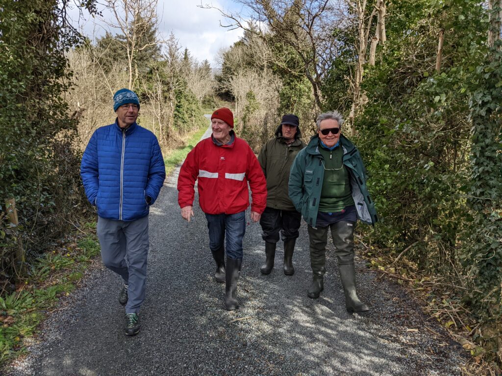
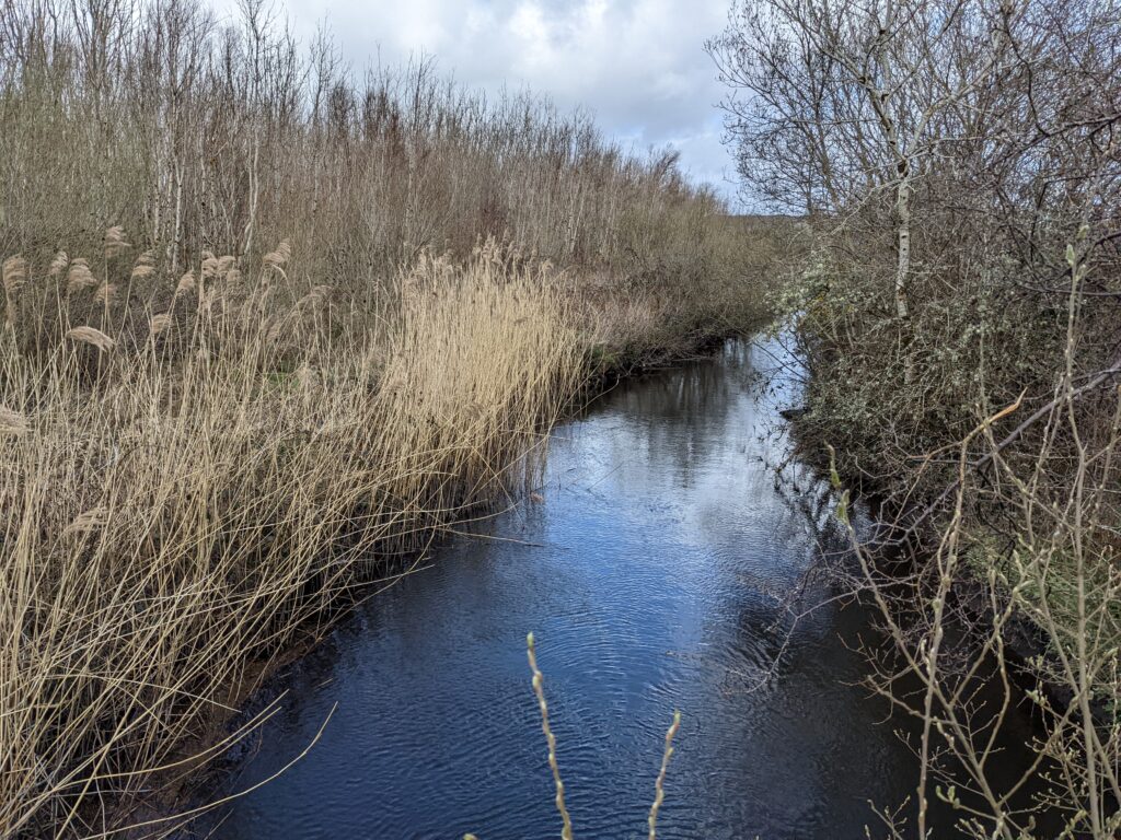
On 6 April 2022 we paid a visit to the upper Carrowbeg River catchment just downstream of Knappabeg Lough. This was a follow-on from the earlier Westport River walk on 26 March when the issue of flooding in Westport was perhaps the main focus of the discussions. As with the Carrowniskey we discussed the potential for natural flood remedies in the upper portion of the catchment.
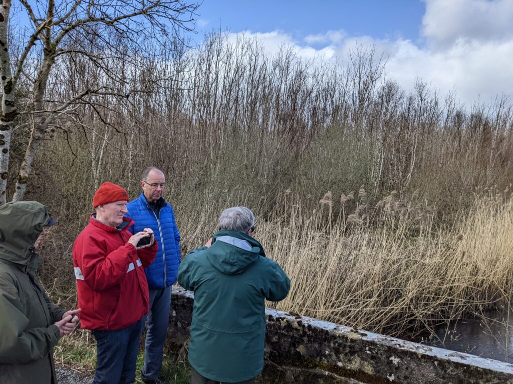
There is a large wetland area just downstream of Knappabeg Lough and the adjacent smaller lakes, Lahardaun Lough and Cornacarta Lough also have a significant wetland area just downstream.
The total area of bog/wetland is approximately 1 km2. It would be worth surveying this to see how much additional capacity it has for additional “soakage”. These lakes and the nearby Kinlooey Lough on the Mountbrown tributary of the Carrowbeg all provide significant buffering following heavy rainfall events. However, the upper catchment to Cooloughra Bridge, where the flow gauging station is located, comprises 85% of the total catchment area and therefore accounts for the bulk of the flow reaching Westport.
Wetlands store floodwaters, acting like natural sponges, and slowing down the force of flood and storm waters as they travel downstream. Far from posing a flood threat, wetlands should be viewed as buffers, to protect areas where people live”
Wetlands of Mayo
For an introduction to natural flood control methods it is worth watching a talk by Dr Mary Bourke of TCD given at an Irish Wildlife Trust webinar. The talk “A nature based approach for rivers in Ireland” gives a very clear view of the issues and also suggestions for remedies to reduce flood hazard. Definitely worth a watch.
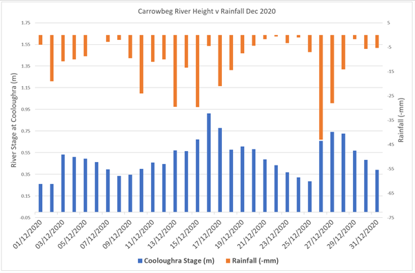
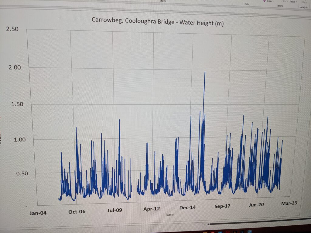
The graph above shows the height of water in the Carrowbeg at Cooloughra Bridge (bottom) and compared with Rainfall (top) in Dec 2020. Westport flooded on 28 Dec 2020.